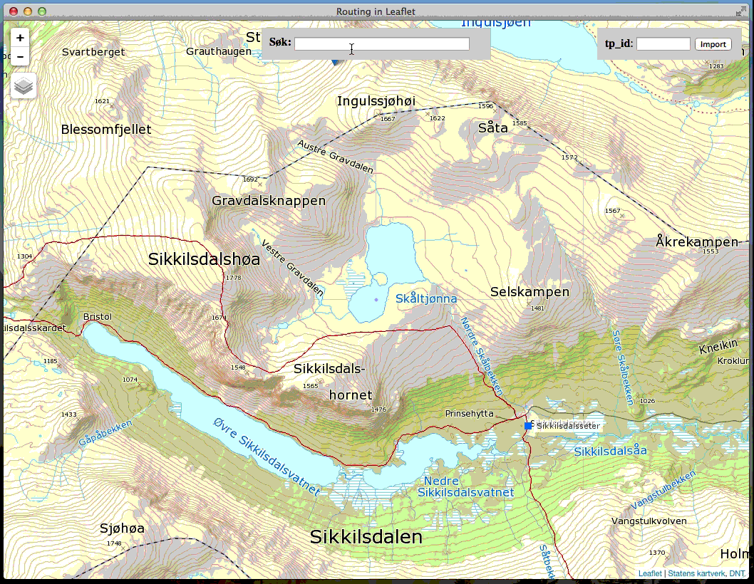
Leaflet.Routing is a routing controller for the popular Leaflet mapping framework. The module provides an intuitive interface for routing paths between waypoints using any user specified routing service. A demo using the OSM data can be found here.
- Route handling interface for Leaflet
- Use your own routing backend, or OSM
var routing = new L.Routing({
  position: 'topright'
  ,routing: {
    router: myRouterFunction
  }
  ,tooltips: {
    waypoint: 'Waypoint. Drag to move; Click to remove.',
    segment: 'Drag to create a new waypoint'
  }
  ,styles: {     // see http://leafletjs.com/reference.html#polyline-options
    trailer: {}  // drawing line
    ,track: {}   // calculated route result
    ,nodata: {}  // line when no result (error)
  }
  ,snapping: {
    layers: [mySnappingLayer]
    ,sensitivity: 15
    ,vertexonly: false
  }
  ,shortcut: {
    draw: {
      enable: 68    // 'd'
      ,disable: 81  // 'q'
    }
  }
});
map.addControl(routing);routing.draw(true);routing.routing(true);routing.snapping(true);routing.rerouteAllSegments(callback);var first = routing.getFirst();var last = routing.getLast();var waypointsArray = routing.getWaypoints();var polyline = routing.toPolyline();var geoJSON3D = routing.toGeoJSON();
var geoJSON2D = routing.toGeoJSON(false);Load GeoJSON with and without properties.waypoints.
numberwaypointDistance - distance between inserted waypoints for GeoJSON without waypoints.booleanfitBounds - fit map arround loaded GeoJSON.
routing.loadGeoJSON(geojson, [options], function(err) {
  if (err) {
    console.log(err);
  } else {
    console.log('Finished loading GeoJSON');
  }
});All events form Leaflet.Routing is prefixed with routing:.
routing.on('routing:someEvent', function() {
  console.log('routing:someEvent triggered');
});| Event name | Description |
|---|---|
routing:draw-start |
Fired when drawing mode is started |
routing:draw-new |
Fired when drawing mode is started for a new route |
routing:draw-continue |
Fired when drawing mode is started for an existing route |
routing:draw-stop |
Fired when drawing mode ends |
routing:edit-start |
Fired when editing mode starts |
routing:edit-end |
Fired when editing mode ends |
| Event name | Description |
|---|---|
routing:routeWaypointStart |
Fired when a new or existing waypoint is created or moved |
routing:routeWaypointEnd |
Fired when routing is finished for new or moved waypoint |
| Event name | Description |
|---|---|
routing:rerouteAllSegmentsStart |
Fired when rerouting of all segments starts |
routing:rerouteAllSegmentsEnd |
Fired when rerouting of all segments completes |
Copyright (c) 2014, Den Norske Turistforening
All rights reserved.
Redistribution and use in source and binary forms, with or without modification, are permitted provided that the following conditions are met:
- Redistributions of source code must retain the above copyright notice, this list of conditions and the following disclaimer.
- Redistributions in binary form must reproduce the above copyright notice, this list of conditions and the following disclaimer in the documentation and/or other materials provided with the distribution.
THIS SOFTWARE IS PROVIDED BY THE COPYRIGHT HOLDERS AND CONTRIBUTORS "AS IS" AND ANY EXPRESS OR IMPLIED WARRANTIES, INCLUDING, BUT NOT LIMITED TO, THE IMPLIED WARRANTIES OF MERCHANTABILITY AND FITNESS FOR A PARTICULAR PURPOSE ARE DISCLAIMED. IN NO EVENT SHALL THE COPYRIGHT HOLDER OR CONTRIBUTORS BE LIABLE FOR ANY DIRECT, INDIRECT, INCIDENTAL, SPECIAL, EXEMPLARY, OR CONSEQUENTIAL DAMAGES (INCLUDING, BUT NOT LIMITED TO, PROCUREMENT OF SUBSTITUTE GOODS OR SERVICES; LOSS OF USE, DATA, OR PROFITS; OR BUSINESS INTERRUPTION) HOWEVER CAUSED AND ON ANY THEORY OF LIABILITY, WHETHER IN CONTRACT, STRICT LIABILITY, OR TORT (INCLUDING NEGLIGENCE OR OTHERWISE) ARISING IN ANY WAY OUT OF THE USE OF THIS SOFTWARE, EVEN IF ADVISED OF THE POSSIBILITY OF SUCH DAMAGE.